Topographical Survey
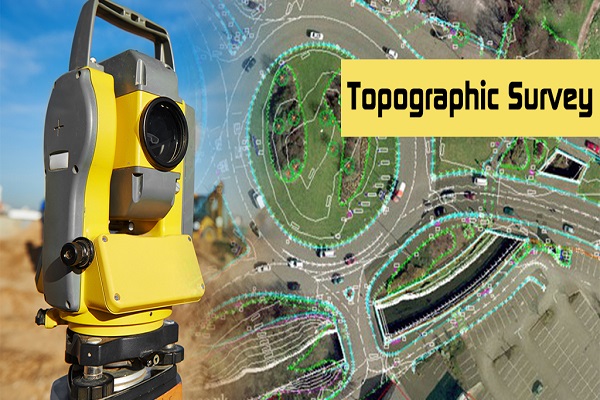
Sri Renuka Yellamma Land Surveyors engaged in Hyderabad providing accurate and reliable topographic surveyor services to our prestigious clients. topographical survey is a detailed study and mapping of the natural and man-made features of a land area, focusing on its elevation, contours, terrain, vegetation, water bodies, and structures. This surveying technique involves collecting precise data to create accurate and scaled maps or models that depict the three-dimensional characteristics of the land. This survey is crucial in understanding the landscape's layout, aiding decision-making in infrastructure development, determining drainage patterns, and analyzing potential risks, among other uses.